
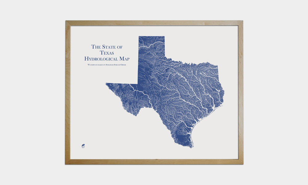
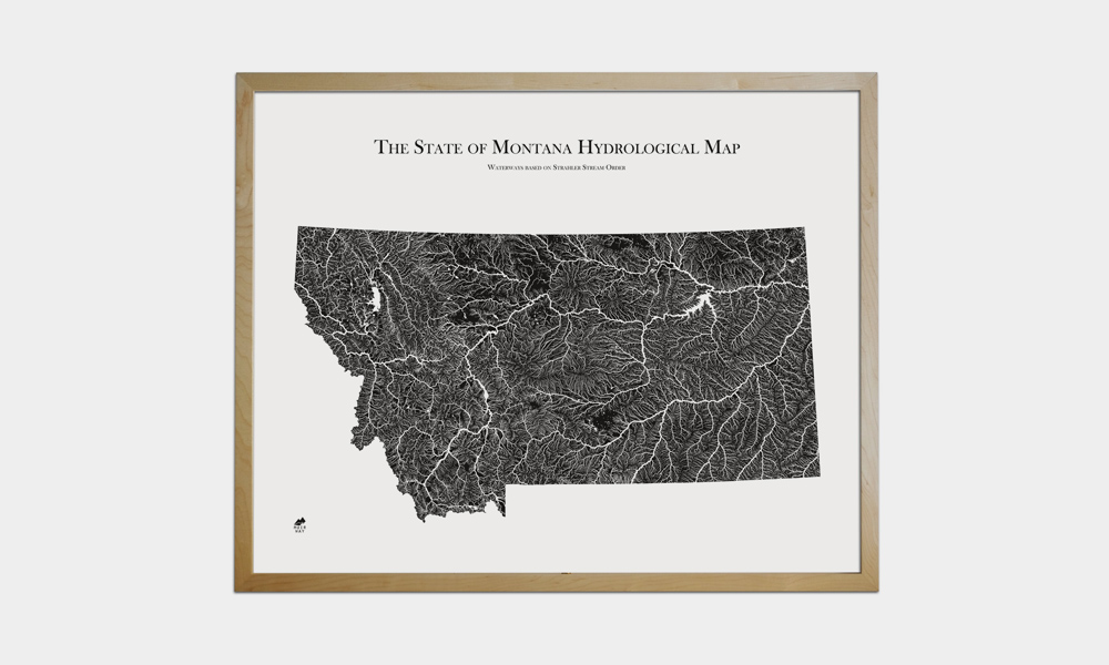
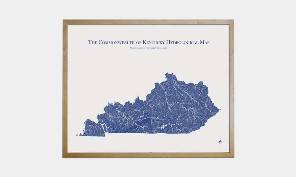
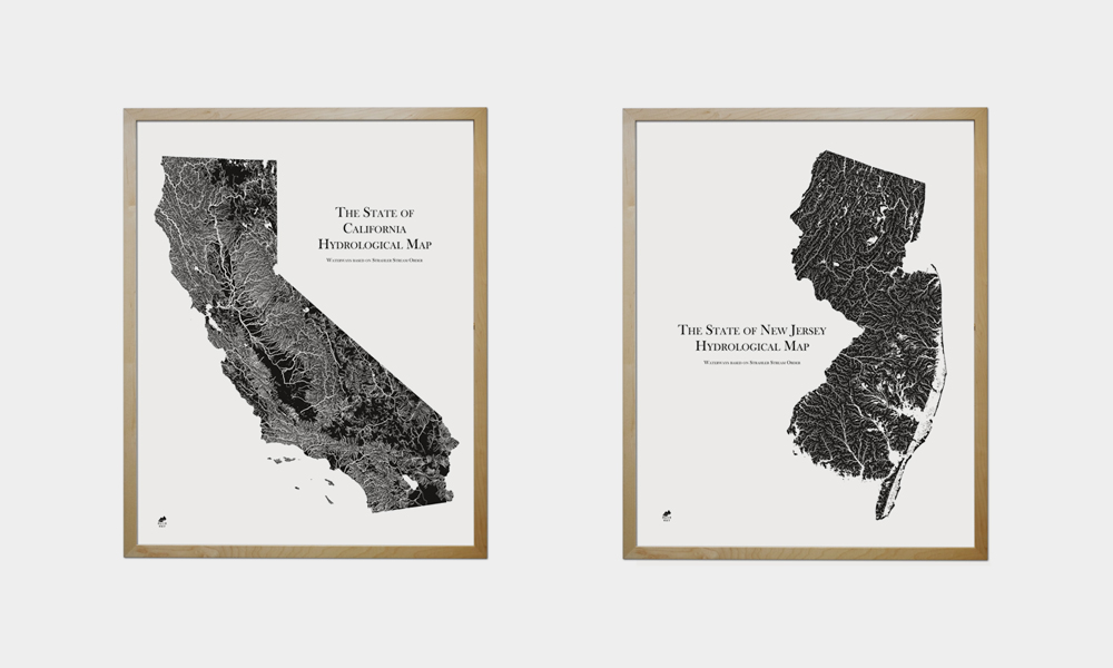
We’re suckers for maps. Having an attractive one on the wall reminds us to get out there and see the world. Since we’re always on the hunt for unique ones, we find ourselves checking Muir Way often, which you probably know if you’re an avid reader. Their latest collection is one of their most impressive yet. The Hydrology Series captures each state’s rivers, streams, lakes, and wetlands in incredible detail, allowing you to easily see just how much water surrounds you or the places you love to travel. All lakes and wetlands are true to their shape while rivers and streams are based off their Strahler number, meaning they’re thickest when closest to their source. Each is available in black or blue and in a couple different sizes. They’re pieces of art that might just help you plan your next kayaking adventure.
Muir Way Hydrology Map Series
More Home

My Girlfriend Loves Design, So I Got Her an Arc Alarm Clock from NanuElectrics
Useful can be beautiful. The best gifts are.

The Coolest Home Gifts for 2025
For the home, for the win.

Review: My Three Months With the Tiami Mattress
Upgrading to Tiami turned sleep into something I look forward to every night. Don’t miss their Labor Day Weekend Sale.
-
Home
My Girlfriend Loves Design, So I Got Her an Arc Alarm Clock from NanuElectrics
Useful can be beautiful. The best gifts are.
-
Home
The Coolest Home Gifts for 2025
For the home, for the win.
-
Home
Review: My Three Months With the Tiami Mattress
Upgrading to Tiami turned sleep into something I look forward to every night. Don’t miss their Labor Day Weekend Sale.