Muir Way
Showing 3 results for articles tagged with Muir Way:
We use cookies to enhance your browsing experience, serve personalized ads or content, and analyze our traffic. By continued use, you agree to our Privacy Notice.
Insider recommendations, the best deals, and the most unique products & experiences, delivered right to your inbox.

Share through your preferred social media platform:
Copy the link and send it directly to everyone:
Showing 3 results for articles tagged with Muir Way:
We're suckers for maps. Having an attractive one on the wall reminds us to get out there and see the world. Since we're always on the hunt for unique ones, we find ourselves checking Muir Way often, which you probably know if you're an avid reader. Their latest collection is…

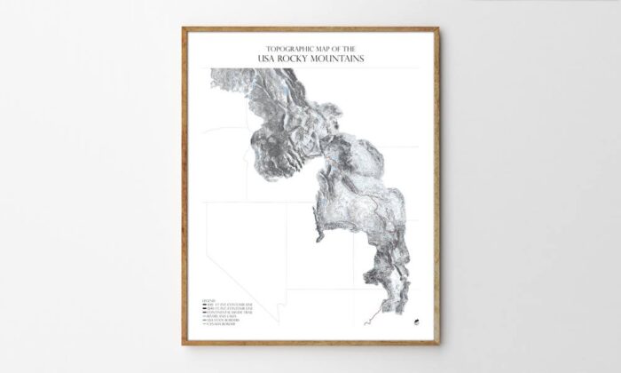
Muir Way, makers of the National Park Maps and Topographic Ski and Snowboard Mountain Maps, is back with a new line of topographic maps dubbed the Range Series. By combining the data from hundreds of smaller USGS quadrant maps and illustrating them with contour lines, Muir Way has created topographic maps…
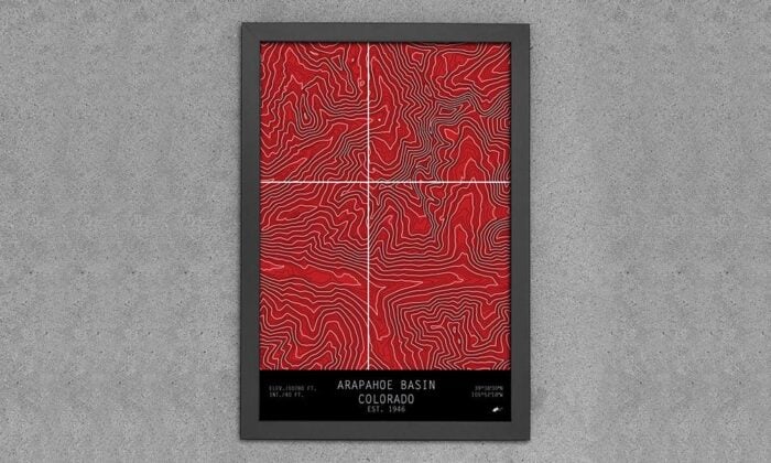
A few years ago, we introduced you to Muir Way, a company that was producing printed maps of national parks ranging from Arcadia to Zion. Now they're back with a new series of maps that showcase ski and snowboard mountains based off the topographic quadrants made by the USGS. The…