
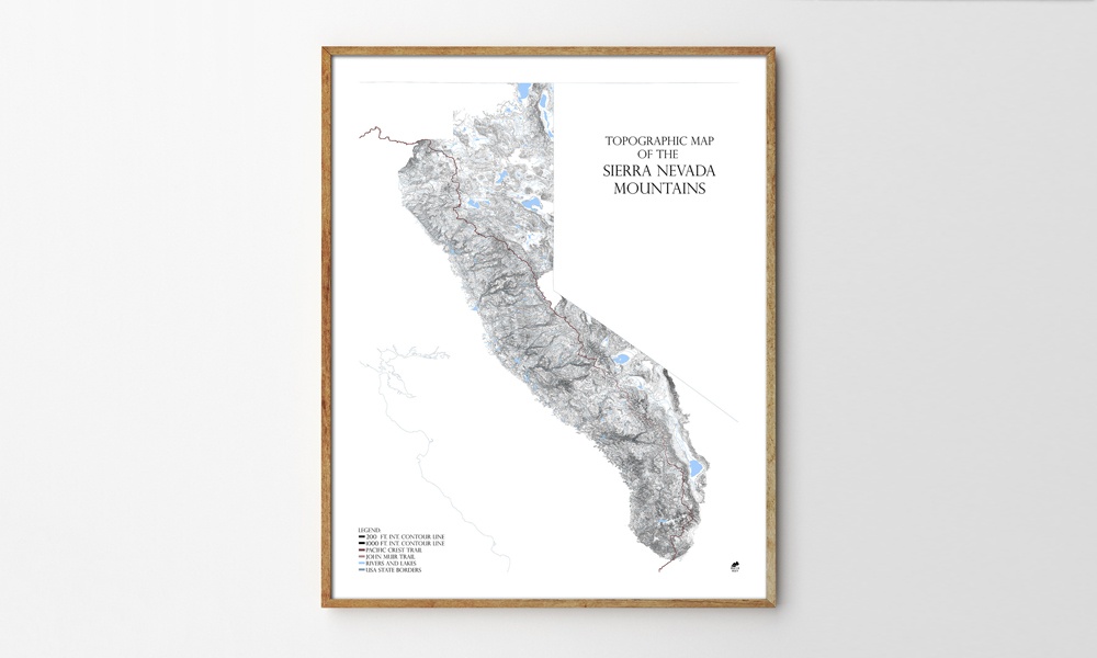
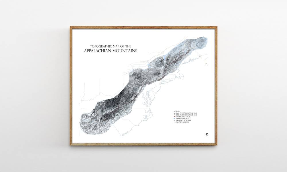
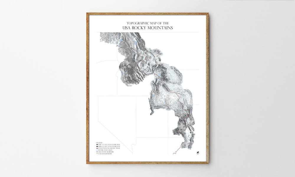
Muir Way, makers of the National Park Maps and Topographic Ski and Snowboard Mountain Maps, is back with a new line of topographic maps dubbed the Range Series. By combining the data from hundreds of smaller USGS quadrant maps and illustrating them with contour lines, Muir Way has created topographic maps of the Appalachian Mountains, Rocky Mountains and Sierra Nevada Mountains that are more detailed and accurate than anything else we’ve seen. As each of the pieces in the Range Series deals with the maps as art pieces, man-made elements like roads, cities or towns have been removed to focus on the natural features that make up each mountain range.
Muir Way Range Series Topographic Maps
More Home

Home
The Secret to Perfectly Messy Hair
The perfect balance of polished and undone, without the crunch, grease, or obvious effort.

Home
Cool Party: Our End of Summer Hosting Guide
The drinks, the music, the vibes, and everything else you need to end summer on a high note.

Home
Our Go-to Albums for Hosting
7 albums that set the mood so you can worry about the food and whether you have enough ice.
-
Home
The Secret to Perfectly Messy Hair
The perfect balance of polished and undone, without the crunch, grease, or obvious effort.
-
Home
Cool Party: Our End of Summer Hosting Guide
The drinks, the music, the vibes, and everything else you need to end summer on a high note.
-
Home
Our Go-to Albums for Hosting
7 albums that set the mood so you can worry about the food and whether you have enough ice.