
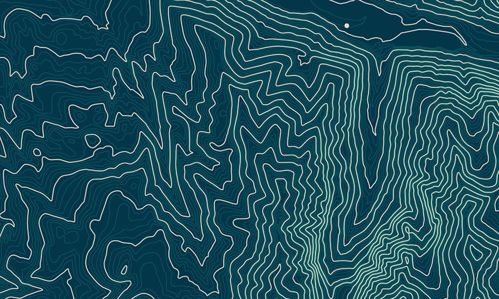
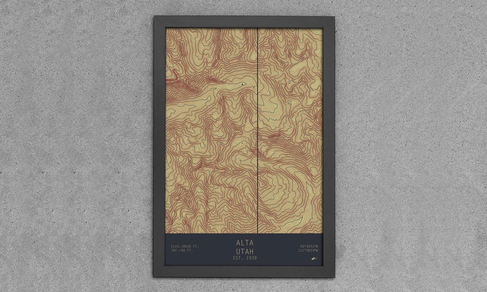
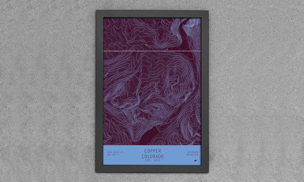
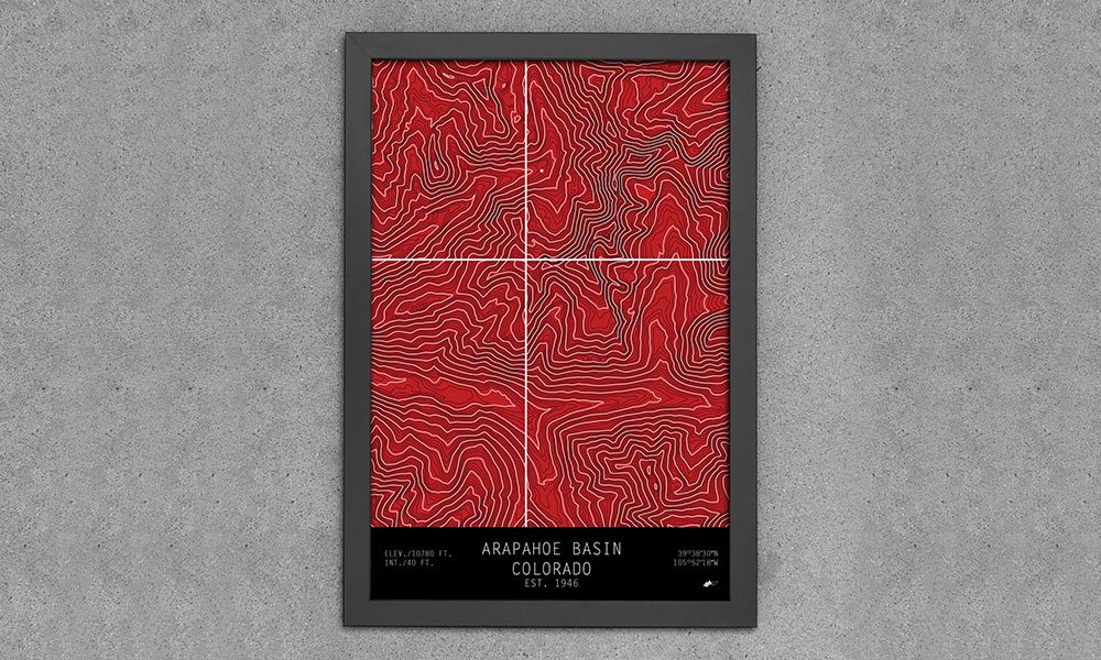
A few years ago, we introduced you to Muir Way, a company that was producing printed maps of national parks ranging from Arcadia to Zion. Now they’re back with a new series of maps that showcase ski and snowboard mountains based off the topographic quadrants made by the USGS. The TOPO Series uses a dot to indicate the base of the resort and contour lines to depict the shapes and slopes of the mountains. The locations range from Breckenridge, Colorado, to Squaw Valley, California, and each piece includes some information (elevation, coordinates, etc.) about the location. TOPO Series Maps are available in paper (13×19″ – framed or unframed) or canvas (20×30″ / 24×36″) options with a number of color schemes to choose from.
Topographic Ski and Snowboard Mountain Maps
More Home

Home
The Rug That Really Tied the Room Together Is Headed to Auction—And I Spoke With the Man Who Saved It
Nearly 30 years after The Big Lebowski, the film's rug is up for grabs.

Home
Our Favorite Finds From Bespoke Post’s Fourth of July Sale
Up to 50% off. These are the pieces we'd grab before they're gone.

Home
Black Book: 13 Products Our Editors Loved in June 2026
The products our editors have been obsessed with in June 2026.
-
Home
The Rug That Really Tied the Room Together Is Headed to Auction—And I Spoke With the Man Who Saved It
Nearly 30 years after The Big Lebowski, the film's rug is up for grabs.
-
Home
Our Favorite Finds From Bespoke Post’s Fourth of July Sale
Up to 50% off. These are the pieces we'd grab before they're gone.
-
Home
Black Book: 13 Products Our Editors Loved in June 2026
The products our editors have been obsessed with in June 2026.