
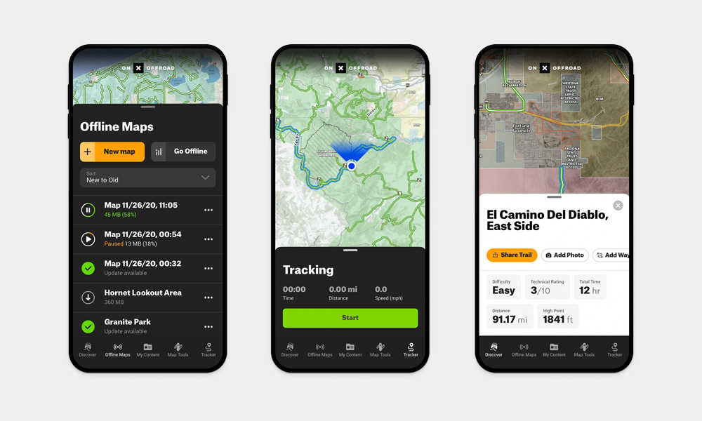
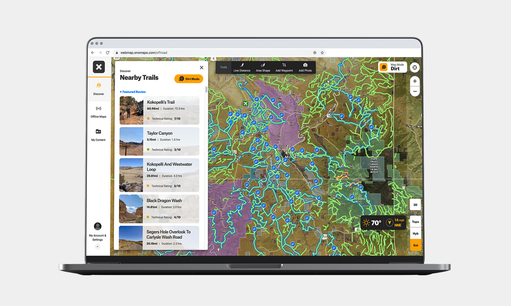
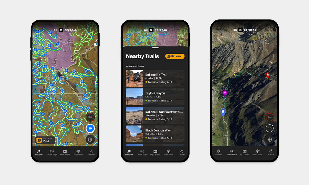
The maps app currently on your phone is all but essential when it comes to navigating these days. But if we’re being honest, even the powerhouses aren’t that good when it comes to off-roading and the backcountry. That’s where the onX Offroad GPS Maps App comes in. This purpose-built off-roading app connects thousands of like-minded individuals so they can discover over 550k+ miles of trails with detailed photos, difficulty ratings, and descriptions. It will even give you detailed information like trail open and closure dates, public land management, private land, and recreation point details for campsites, trailheads, open OHV areas, and more. What’s more, you can use the built-in Tracker to add custom waypoints for campsites, obstacles, parking, and anything else you might want to save. As you know, quite a few of the best trails are in areas with little or no cell service, which makes it impossible for traditional navigation. Fret not, onX has you covered there because you can download maps for offline use and use your phone’s GPS until you get back to an area with service.
onX Offroad GPS Maps App
More Tech

The Most Hands-Off Way To Keep Your Floors Clean
CES 2026 can’t get enough of Roborock’s one-pass smart home cleaning solution.

The Coolest Tech Gifts for 2025
Be sure to use ChatGPT to write the card.

How PITAKA’s Sunset Collection Is Shaping the Future of Emotional Design
High-performance tech gear meets pure visual poetry.
-
Tech
The Most Hands-Off Way To Keep Your Floors Clean
CES 2026 can’t get enough of Roborock’s one-pass smart home cleaning solution.
-
Tech
The Coolest Tech Gifts for 2025
Be sure to use ChatGPT to write the card.
-
Tech
How PITAKA’s Sunset Collection Is Shaping the Future of Emotional Design
High-performance tech gear meets pure visual poetry.