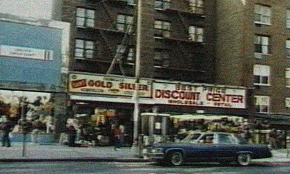
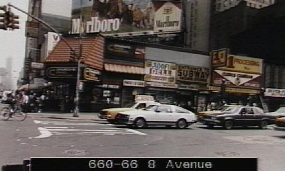
At the end of the ‘30s, NYC created its first set of “tax photos,” which documented almost every building in the city. The process was repeated again in the ‘80s, and those photos have been digitized and made available through the city’s public Municipal Archives. 80s.NYC is a project from Brandon Liu and Jeremy Lecithin that takes all those digitized photos and presents them using a map that’s easy to browse. 80s.NYC will give you a glimpse of the streetscape of NYC more than thirty years ago in a way that feels way more honest than Google street view. The team also added a “Stories” section with blurbs about particular images that they found interesting or noteworthy. Over 800,000 photos make up the body of imagery in the archives that the 80s.NYC site references. If you’re interested in high-res prints they can be purchased from the NYC Municipal Archives.
More Misc

Why NORQAIN Might Be the Best Swiss Watch Brand You Haven’t Looked at Yet
Independent, family-owned, quietly earning its place on the wrists of serious athletes (Sydney Crosby, et al.) and serious collectors alike.

How PITAKA’s Sunset Collection Is Shaping the Future of Emotional Design
High-performance tech gear meets pure visual poetry.

Wellen Performance-Lined Swim Trunks, Reviewed by a Swim Trunk Skeptic
Could these be the shorts to end all my swimwear complaints? Tried, tested, reviewed.


