
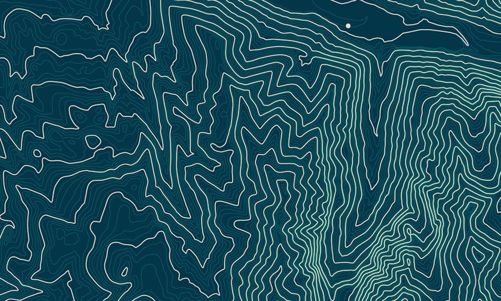
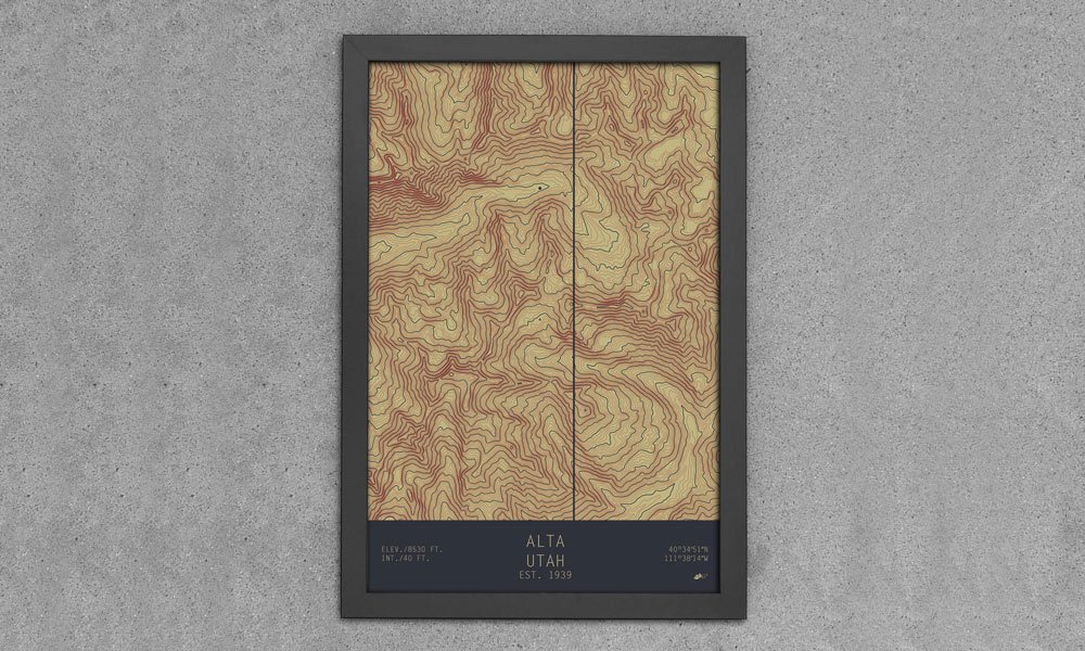
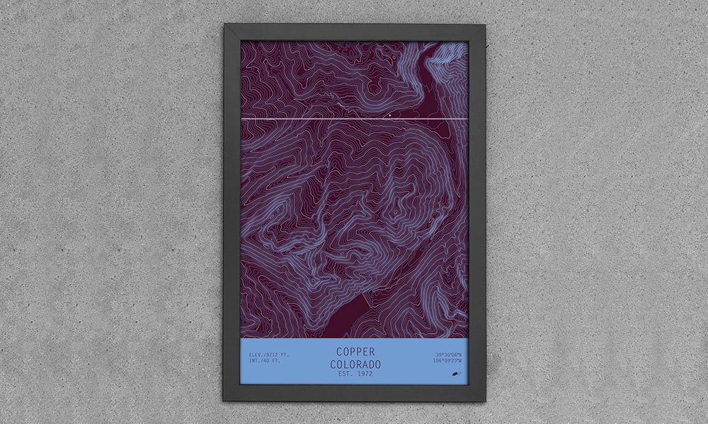
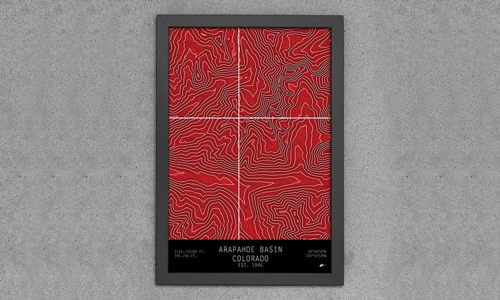
A few years ago, we introduced you to Muir Way, a company that was producing printed maps of national parks ranging from Arcadia to Zion. Now they’re back with a new series of maps that showcase ski and snowboard mountains based off the topographic quadrants made by the USGS. The TOPO Series uses a dot to indicate the base of the resort and contour lines to depict the shapes and slopes of the mountains. The locations range from Breckenridge, Colorado, to Squaw Valley, California, and each piece includes some information (elevation, coordinates, etc.) about the location. TOPO Series Maps are available in paper (13×19″ – framed or unframed) or canvas (20×30″ / 24×36″) options with a number of color schemes to choose from.
Topographic Ski and Snowboard Mountain Maps
More Home

Home
Our Go-to Albums for Hosting
7 albums that set the mood so you can worry about the food and whether you have enough ice.

Home
10 Labor Day Sales You Probably Don’t Know About
Forget the usual suspects. We found worthwhile deals on menswear, watches, luggage, design, fragrance, books, and more.

Home
The Art of Cocktail Conversation
58 questions for better conversations at your next party.
-
Home
Our Go-to Albums for Hosting
7 albums that set the mood so you can worry about the food and whether you have enough ice.
-
Home
10 Labor Day Sales You Probably Don’t Know About
Forget the usual suspects. We found worthwhile deals on menswear, watches, luggage, design, fragrance, books, and more.
-
Home
The Art of Cocktail Conversation
58 questions for better conversations at your next party.